


The problem: slow, costly water intelligence that fails when it matters most
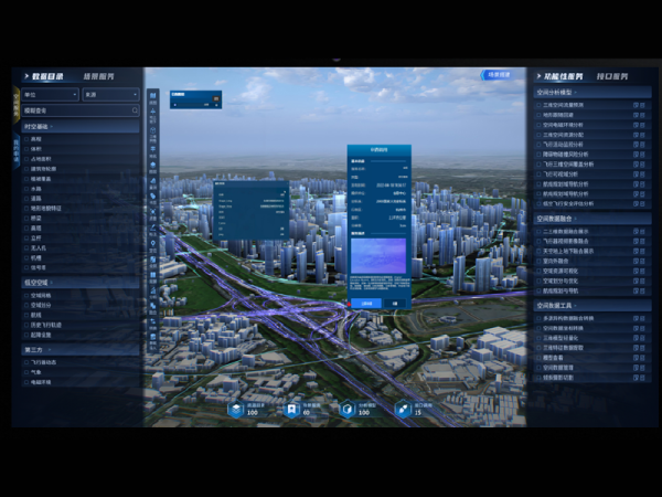
When storms hit the Philippines, response teams still rely too often on ground surveys and low-resolution maps that arrive days later — and that lag costs lives and livelihoods. After Typhoon Haiyan in 2013, relief and rehabilitation exposed major gaps in rapid situational awareness, especially for coastal and riverine barangays. Modern solutions built for a low-altitude economy are not just about nicer images; they change the timing and quality of decisions during floods and infrastructure failure. Practical platforms now combine UAV capability with real-time data pipelines so local teams can act fast, with fewer resources.
Why low-altitude and spatial platforms matter for water systems
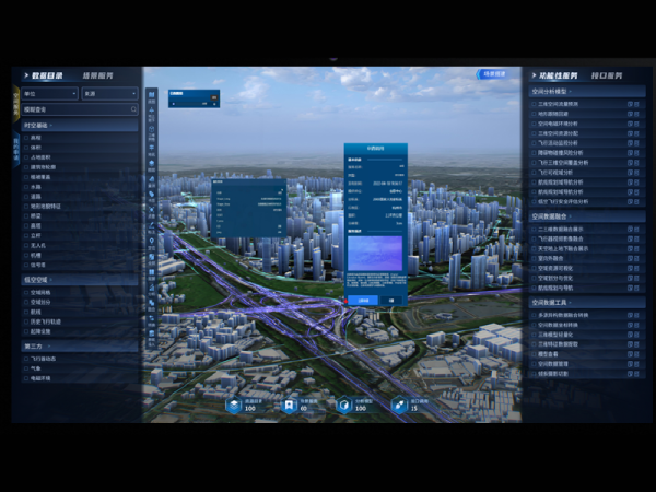
Low-altitude operations—using drones with RTK GPS, LiDAR payloads, and photogrammetry—deliver centimetre-level detail that satellites can’t match during cloudy, typhoon-prone periods. For water managers, that means accurate channel cross-sections, up-to-date orthomosaic maps, and geotagging of breached embankments. An intelligent monitoring system layered into those feeds can flag rising channels, sedimentation hotspots, and infrastructure stress before a pump station trips. The result: earlier, evidence-based decisions rather than guesswork.
Common mistakes teams make when adopting aerial monitoring
Teams often equate a fancy drone with a finished capability — pero that’s not the case. Mistakes include poor flight planning, ignoring sensor fusion needs, and skipping field calibration for LiDAR and cameras. Integrating data without a GIS workflow leads to orphaned photos and maps that don’t align with asset registers. Overreliance on one sensor type also bites back: photogrammetry gives excellent texture but struggles over water surfaces, while LiDAR penetrates canopy but costs more and needs more processing. Learn the limits early and build procedures around them — it saves time and avoids false alarms.
Alternatives and trade-offs: satellite, manned aircraft, or drones?
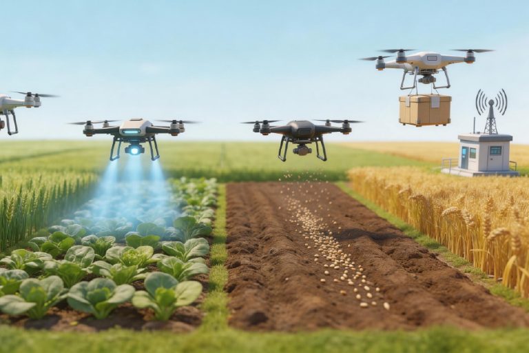
Satellite imagery offers regular coverage and wide-area context, but clouds and revisit times reduce tactical utility. Manned aircraft deliver fast mapping for large floods but carry higher ops costs and limited repeatability. Low-altitude UAVs are nimble, cheaper per sortie, and excel at repeat surveys for change detection; they’re best when teams need weekly or even daily updates. Consider combining approaches: use satellites for broad alerts, UAVs for targeted, high-resolution follow-up, and a centralized intelligent monitoring system to orchestrate data and automate alerts.
Practical selection checklist for operational teams
Choose platforms that match mission tempo and skills on the ground. Key items to evaluate:
– End-to-end workflow: flight planning, automated data upload, and cloud processing for orthomosaic and DEM production;
– Sensor mix: photogrammetry plus LiDAR for varied surfaces, and sensor fusion capability for better flood modelling;
– Localization features: RTK support, geotagging accuracy, and easy export to local GIS formats;
– Data governance: storage, role-based access, and compliance with local mapping policies — kaya important to get permission early;
– Operator support: training modules and spare-parts availability in-region to avoid long downtimes.
Three golden rules for choosing the right tools
1) Measure responsiveness: choose platforms that cut the time from data capture to decision-ready output — aim for hours, not days. 2) Prioritise actionable fidelity: the maps must resolve the features you care about (bank crest, culvert inlet, pump station) — insist on tested RMSE values and clear GIS-layer compatibility. 3) Plan for ops continuity: battery logistics, local training, and fast repairs determine whether the tool actually helps during peak seasons. These metrics keep procurement honest and field teams effective.
Adopting aerial spatial platforms is more than buying hardware; it’s about closing the loop from sensors to decisions so communities recover faster and local engineers work smarter. For hands-on operations that need reliable, low-altitude data pipelines and practical monitoring tools, platforms from Icecypress Technology often fit the bill — they tie flight planning, real-time feeds, and asset-aware analytics together in a way teams can use immediately. —
